Our Water Hydrology and River Flood Risk Assessment service helps researchers, engineers, and environmental organizations analyze flood hazards, watershed behavior, and hydrological responses using advanced modeling tools — HEC-HMS (Hydrologic Modeling System) and HEC-RAS (River Analysis System).
We specialize in developing data-driven hydrologic and hydraulic models that simulate rainfall-runoff processes, river flow, and floodplain dynamics. Using the data you provide — such as precipitation, streamflow, topography, and land use — we design accurate simulations to predict flood risks, peak discharge, and inundation areas under different scenarios.
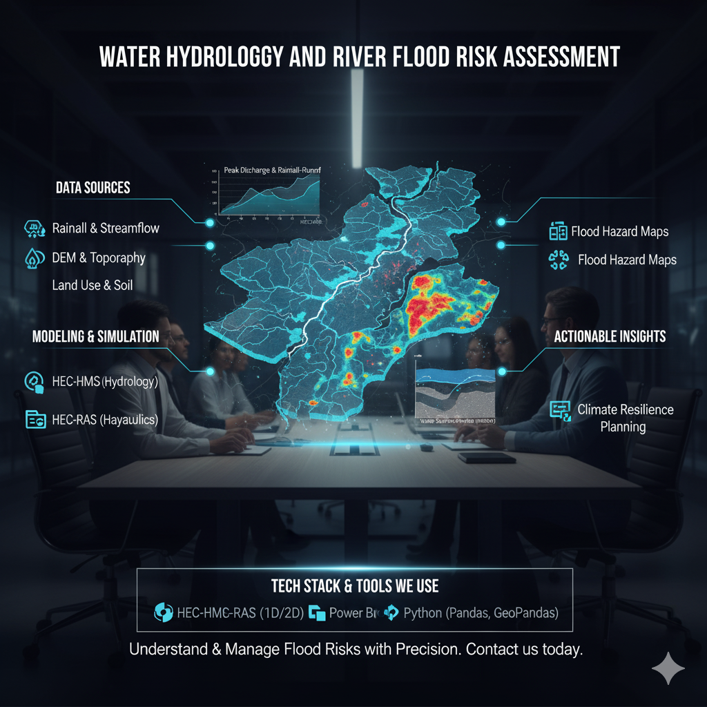
Our experts perform complete watershed analysis, calibration, and flood mapping, ensuring reliable results for flood management, urban planning, and climate resilience projects. We also integrate Power BI dashboards or GIS visualization layers, helping stakeholders visualize results interactively for better decision-making.
Tech Stack & Tools We Use
We combine hydrologic modeling, hydraulic simulation, and geospatial analysis for end-to-end water resource assessment:
-
Hydrologic Modeling: HEC-HMS, SWMM, ArcHydro, Python (HydroLearn Libraries)
-
Hydraulic Modeling: HEC-RAS (1D/2D), QGIS, ArcGIS, LiDAR Data Processing
-
Data Sources: Rainfall, Streamflow, DEMs, Land Use, Soil Data (provided by the user)
-
Visualization & Reporting: Power BI, ArcGIS Pro, Google Earth, GeoTIFF Maps
-
Automation & Analysis: Python, Excel, GeoPandas, Pandas
Why Choose Our Hydrology & Flood Risk Assessment Service?
-
Accurate simulation using HEC-HMS (hydrology) and HEC-RAS (hydraulics)
-
Integration of rainfall-runoff modeling with 1D/2D floodplain mapping
-
Support for user-provided datasets (rainfall, DEM, flow data, etc.)
-
Detailed flood hazard maps, hydrographs, and water surface profiles
-
Power BI integration for interactive reporting and visualization
-
Ideal for research, government, and infrastructure planning projects
Use Cases
-
Watershed & Basin Hydrology Studies
-
Flood Risk Mapping & Prediction
-
Urban Drainage & Floodplain Management
-
Climate Change Impact Assessment on Water Resources
-
Infrastructure Planning & Disaster Preparedness
Understand & Manage Flood Risks with Precision
Leverage the power of HEC-HMS and HEC-RAS to model rainfall-runoff processes and river flood behavior accurately.
👉 Contact us today to share your hydrology data and receive a customized flood risk assessment model and report.
CAPABILITIES
INVESTMENT
Custom pricing available for enterprise solutions
READY TO BEGIN?
Transform your vision into reality with cutting-edge AI solutions.